
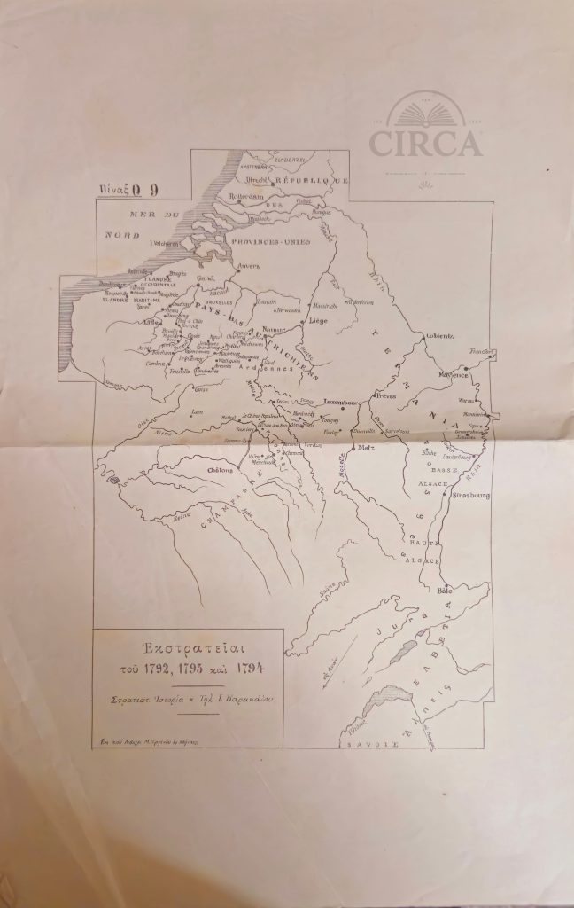
Original 19th century engraved map of Attica and the island of Euboea, issued as Plate 10 from the Greek edition of the celebrated philhellenic work Voyage du jeune Anacharsis en Grèce by Jean-Jacques Barthélemy.
The map illustrates the geography of ancient Greece “according to the travels of Anacharsis,” one of the most influential Enlightenment publications on classical Greek history, widely used in European scholarship and Greek education during the early years of the modern Greek state.
Printed in Greek with period typographic style, the map shows Attica, Euboea and surrounding regions with classical place names, relief shading and multiple historical distance scales, including ancient Greek stadia and French leagues. Such maps were produced for scholarly and educational purposes and reflect early Greek historical geography and philhellenic scholarship.
Likely printed between circa 1830 and 1855.
Plate: Π. 10 (Plate 10)
30 x 22 cm
Condition:
Shows significant age wear, staining, foxing, and losses to margins, consistent with age and use. Surface wear and paper losses visible. Please review all photographs carefully.
Reviews
Clear filtersThere are no reviews yet.