

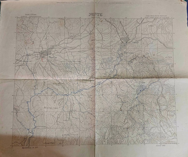
Original Greek military topographic map titled “Strumnitsa – Gevgeli”, issued by the Geographical Service of the Hellenic Army (GYS), dated 1928.
This detailed map covers the wider region of Strumnitsa and Gevgeli (today North Macedonia / Northern Greece border area), an area of significant strategic importance during the interwar period.
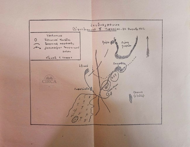
Printed at a scale of 1:100,000, the map presents extensive topographical information including terrain, rivers, settlements, and infrastructure. Notably, the map also bears period hand-drawn markings and annotations in colored pencil, likely of military or operational nature.
Overall worn condition, consistent with age and use.
The map shows:
Visible fold lines throughout
Multiple tears and edge wear
Creasing and handling marks
Age toning and discoloration
Signs of prolonged use in the field
Despite its condition, the map remains complete and fully legible, and retains strong historical and display value.


Reviews
Clear filtersThere are no reviews yet.